

The Royal Oak, Withypool Pub
An 'must do' Exmoor pub walk to Tarr Steps along the River Barle, 7.5 miles

Try this Pub & Walk
This beautiful, well signposted Somerset pub walk follows the Two Moors Way along the banks of the River Barle in Exmoor National Park to the famous Tarr Steps.
This iconic and protected stone clapper bridge—believed to date back to the 10th century and the longest of its kind in the UK—stands in a landscape of tranquil nature reserves.
This part of the Barle valley is closely associated with writer Hope Bourne, who spent the final stage of her life in Withypool. Her writing is inseparable from this stretch of Exmoor.
Walking from Withypool towards Tarr Steps today, it is easy to recognise the same qualities she recorded—long, open stretches of moor giving way to sheltered woodland along the river, and a sense that human presence here has always been shaped by the land.
Crossing Tarr Steps, the route continues along the Exe Valley Way, leading across peaceful fields of sheep towards Withypool Hill, and offering a wonderful taste of the natural beauty that makes Exmoor so special.
Keep an eye out for kingfishers & dippers, deer & sheep.
And Exmoor's largest gin collection at The Royal Oak, Withypool.
About The Royal Oak, Withypool


Last visit: April 2025
This warm and welcoming village pub was once owned by a member of MI6, Maxwell Knight, who was the inspiration of Ian Fleming's character 'M' in the James Bond books.
And it has certainly served a few famous people over the past 300 years too.
R D Blackmore, the English novelist, is said to have written part of Lorna Doone at The Royal Oak. Having spent much of his childhood in the lush and pastoral "Doone Country" of Exmoor, Blackmore came to love the very countryside he immortalised in his book.
However, his preferred passion was horticulture apparently, so we'll gloss over the fact that he likely took more pride in growing swedes at home in Teddington than he did in writing Lorna Doone at The Royal Oak.
More recently the pub hosted Dwight D Eisenhower who was then in the midst of preparations for the D-Day landings, with extensive training taking place at Saunton Sands, Woolacombe, and the sand dunes of Braunton Burrows, not too far away in neighbouring Devon.
A letter hangs in the bar from Dwight recording his thanks for the stay.
The pub itself has two bars and a restaurant, serves a range of local ales and has the best gin collection on Exmoor, maybe even in all of Somerset. There are bedrooms over two floors, dogs welcome throughout, and a pop up bar in the car park in summer, a success originating from the necessities of covid times.
Hopefully the photos here give you a sense of what it's like - a warm, cosy pub that gets busy with a combination of sheep farming locals and tourists, so book if you're intending to eat, which I'd recommend you do!
And of course it's another Royal Oak - read my blog post to discover why there are so many!
Pub Key Information
| WEBSITE | https://royaloakwithypool.co.uk/ |
| ADDRESS | Sparrow Lane, Withypool, Minehead, Somerset, TA24 7QP |
| PHONE | 01643 831506 |
| WHAT3WORDS | ///equality.condition.safari |
| PARKING | To the side of the pub and in the lane. There's an outdoor bar in the summer months that takes some of the parking space. |
| LOCATION | Withypool is one of the 'honeypot' villages on Exmoor. It lies south of Exford and to the West of the A396 Tiverton to Minehead road. |
| HANDY FOR | Withypool sits on the Two Moors Way and is part of the Somerset section of the Exe Valley Way. It's a great village base to explore Exmoor more widely. |
Walk Overview
You can reach Withypool from the A396, either following the A39 via Dunster to the North, or Tiverton and the A361 to the South.
Withypool is a charming Exmoor National Park village set beside the winding River Barle, perfectly placed for a walk to Tarr Steps.
Tarr Steps is an iconic ancient clapper bridge spanning the river, formed from massive stone slabs. The bridge is widely believed to date back to the 10th century.
Surrounded by nature reserves this spot is one of the most atmospheric and photographed landmarks on Exmoor.


Walk Key Information
| START/FINISH | Royal Oak, Sparrow Lane, Withypool, TA24 7QP. 01643 831506 |
| PARKING | To the side of the pub and in the lane. There's an outdoor bar in the summer months that takes some of the parking space. |
| GRID REFERENCE | SS 847 356 |
| WHAT3WORDS | ///equality.condition.safari |
| DISTANCE/TIME | 7.5 miles / 12 km; approx 3 hours |
| ASCENT | 900 feet / 275 metres |
| PATHS/TERRAIN | Well signposted with a number of stiles, gates and footbridges. Grassy tracks and river bank paths, quiet lanes and field paths. |
| DIFFICULTY | Moderate – easy to Tarr Steps, some determined up hills to return. |
| PUBLIC TRANSPORT | None that I could confirm. Some websites suggest a 198 Bus visits from Minehead, but the 198’s timetable itself suggests not. |
| TOILETS | As well as the Royal Oak, there are toilets in the village near Withypool Bridge, and parking close by too. Also at Tarr Farm Inn, at Tarr Steps; and a public convenience 400m up the lane. |
| OTHER PUBS TO VISIT | Tarr Farm Inn at Tarr Steps. The Royal Oak, Winsford is fabulous; also try The White Horse Inn, Exford. It’s also worth noting that there’s an excellent tea rooms and village shop in Withypool. |
Walk Instructions: Choose what works for you
There are multiple ways to consume the route described below.
- Either follow the online Walk Directions below, or download and print a copy of the route.
- If you have the OS Maps App, you can follow a saved route directly in the OS App.
- Or download the GPX file for use with your chosen GPS-based tracker App, like Strava. Upload the file when you Create a New Route in the App.

Walk Directions

- Looking at the front of the pub, follow downhill to the right on the lane through the village, heading East in the direction of Winsford. You’ll soon leave the village and the road quickly rises steeply. It’ll be over soon!
- After a third of a mile you’ll see the finger markers guiding you over a stile to “Footpath Tarr Steps 4”, as shown in one of the walk images. “MW” is a reference to the Moors Way.
- From here the journey is straightforward, following established paths through woodland, then fields and river bank paths, with some crossing point options to the other bank along the way. As long as you follow the River Barle you’ll reach Tarr Steps!
- While you’re here, pay a visit to the Tarr Farm Inn, just 50 metres away from the bridge.
- It can get busy here, not surprising given that Tarr Steps is one of the key locations to visit in Exmoor. So while you’ve likely seen few people on your walk to this point, things change (there is a lane down to Tarr Steps from the B3223 at Winsford Hill, via Liscombe, and a public car park c.350m above the Tarr Farm Inn).
- Now head over the clapper bridge onto the lane and almost immediately look out for a public footpath on your right which rises quite steeply up the hillside on a narrow track – the Exe Valley Way.
- This narrow track does a zig zag as it enters fields. You’ll follow waymarked paths through fields from here, initially steeply uphill before finding more level ground in a few fields time.
- As you approach Parsonage Farm at ///maximum.fires.warms footpath options are either straight on through the farm, or right to follow a farm track uphill. Turn right here, continuing on the Exe Valley Way.
- You’ll likely be sharing fields with sheep as the path levels out again, before starting to descend to the side of Westwater Farm to your right hand side. There’s a gate that brings you to the road, before the farm.
- Turn right as you join the road, and follow it round some bends, uphill on your way back towards Withypool. You have about 1 ½ miles to go from here, with the first ½ mile up this hill which is called Worth Lane.
- The road levels out with safe walking on the verge now. If you’re inclined, Withypool Hill is on your left, a 160 feet / 50 metre climb. Otherwise, follow the road to eventually start a descent into the village.
- Admire Landacre Bridge as you cross the River Barle again. This medieval bridge is a listed monument.
- Don’t overindulge at the tea rooms, now on your right. It’s a short walk through the village to the finish at The Royal Oak, where your righteous pint awaits.
Additional Notes
Only Forty Clapper Bridges left
Most people who visit Tarr Steps don't know what a clapper bridge actually is. The term gets used in walking guides as though it's common parlance, but it isn't — so here's what you're looking at.
A clapper bridge is the most elemental form of river crossing imaginable: large flat stones laid across stone piers, no mortar, no arch, no engineering beyond the weight of the slabs holding themselves in place.
The word clapper traces back through Medieval Latin — claperius, a pile of stones — to an Anglo-Saxon root, cleaca, meaning broadly "bridging the stepping stones." The design is ancient, found on moorland across Britain wherever the geology produces suitable flat rock and the rivers are narrow enough to span.
There are around forty clapper bridges left in the country. Tarr Steps is the longest of them, at 55 metres across 17 spans, and it has a strong claim to being the most impressive.
What makes it remarkable is the engineering instinct behind it.
The River Barle floods violently and regularly — the stones, each weighing one to two tonnes, have been washed as much as 50 yards downstream here in serious floods. The bridge's builders understood this and designed accordingly: the slabs sit low, almost at water level, so that floodwater washes over them rather than battering them broadside. And against each pier, stones are angled outwards to deflect floating debris and break the river's force.
Simple solutions, worked out without anything we'd recognise as engineering, and effective enough that the basic design has survived — with repairs — for somewhere between 600 and 3,000 years, depending on which academic you believe.
After each major flood, the bridge is rebuilt slab by slab. Every stone has been numbered to make this possible, which means that the ancient structure you're crossing is also, in some quiet way, a numbered flat-pack waiting for the next inundation.
The age is genuinely unknown. The first written record dates from Tudor times, which suggests medieval origin, but there are Bronze Age barrow mounds on the hillsides above the crossing, and the location — a natural ford at the confluence of ancient upland tracks — has almost certainly been a crossing point for far longer than any document can confirm.
Lorna Doone doesn't settle the question, but it adds a layer: R.D. Blackmore's novel describes a wise woman whose summer home was near Tarr Steps, adding that the bridge was "made, as everybody knows, by Satan for a wager."
Which is one theory.
Other Pub Walks to try in Somerset

Discover the Quantocks on this fine circular walk from Bicknoller.
7 miles
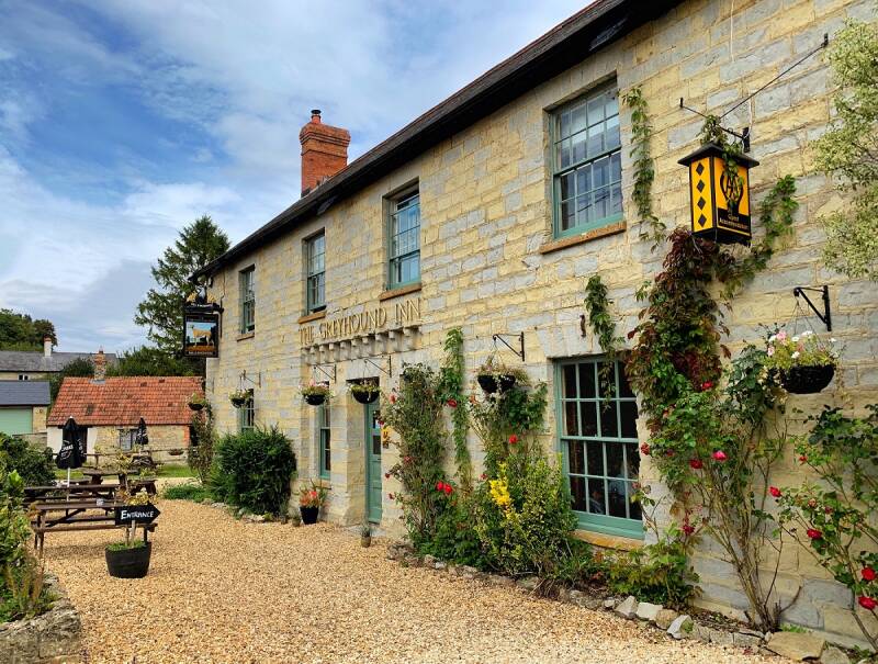
Forest & farmland tracks near Taunton and an award-winning country pub.
5.5 miles
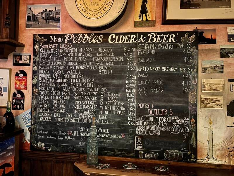
Dunster to Watchet walk along the King Charles III Coast Path on a cider hunt.
5.7 miles